
Knocknaskagh [Cnoc na Sceach]
Good walks are even better shared.
Overview
Knocknaskagh [Cnoc na Sceach]
At an impressive 551 meters, Knocknaskagh is not just another bump on the horizon; it's a gem hidden in the Galtee Mountains, dripping with natural beauty and steeped in history.
Geology
Here lies a blend of granite and schist, with craggy formations that whisper tales of time gone by. As you trek, observe the weathering that has sculpted this landscape, revealing layers that speak volumes about the Earth's ancient processes. For the geology buffs among us, it's a live textbook waiting to be explored!
Routes
One of the most popular routes to the summit is via the Ropca Loop Trail. Stretching about 6.5 km and typically taking about 2.5 hours, it's a moderate trek. Be prepared to meet some snickering sheep along the way; they might fancy themselves your new friends!
Summit Features
Once you've conquered the ascent, you'll be greeted by a quaint cairn perched atop the summit. Here, the views unfold like a beautifully crafted tapestry, showcasing the rolling hills and looming peaks of the Galtee range.
Terrain
Expect to tread along a delightful mix of rocky paths and verdant grass. But hold onto your hats – those boggy patches might just surprise you! Walking with a sense of humour is invaluable here.
Views
Ah, the vistas! From the summit, you’ll catch glimpses of the Knockmealdown Mountains and the lush valleys that feed your soul with serenity. Late spring and early autumn are prime time for visibility; the colours are splendid, and the photos will be Instagram-worthy.
Hazards
Now, before you dash off, remember that mountain weather can be as unpredictable as a cat on a hot tin roof. Stay vigilant for changes and watch your footing on those sneaky damp rocks!
Nearby Summits
Feeling adventurous? Nearby Galtymore at 919 meters and Slieve Felim at 773 meters are waiting to be added to your hiking resume.
Access
Parking is a breeze near the Ropca Loop trailhead. If you're relying on public transport, do check your local bus timetable – it might not match your hiking ambitions!
Facilities
In Bansha, just a stone's throw away, you'll find pubs and cafés ready to warm you up after your day of trekking.
History
The name 'Cnoc na Sceach' or 'Hill of the Hawthorn' perfectly encapsulates the area’s natural heritage. It offers a slice of Ireland’s rich history, tied closely to the heart of nature.
So grab your boots, pack a snack, and while you're at it, don’t forget the camera! Knocknaskagh is calling you to its enchanting heights.
Happy hiking!
Explore routes near Knocknaskagh [Cnoc na Sceach]
Public walks starting within 80 km of this hill. Nearby does not mean a route reaches the summit; check its map and access before setting out.
No public routes are currently listed within 80 km of Knocknaskagh [Cnoc na Sceach] on Walkmates. This does not mean there are no paths here. Explore the map and check local access information before planning a walk.
Route planning notes
These notes describe possible approaches, not verified navigable routes or permission to cross land. Check current paths, local access rules and conditions before setting out.
Start from the Ropca Loop Trail
A well-marked trail leading from the Ropca Loop, winding gently through rich flora before ascending to the summit of Knocknaskagh.
Make a day of it, together
Find someone to share the walk with, or organise a day out along a route you like.
Hill facts and local notes
Classifications
Elevation
426m
1,399 ft
Prominence
289m
Coordinates
52.1072, -8.4336
W703950
OS Map
80
At the Summit
The summit boasts a modest cairn and a stunning panoramic view of the surrounding Galtee mountain range, with the added charm of rugged, untouched nature all around.
Terrain & Geology
Predominantly composed of granite and schist, with interesting formations that provide insight into the area's geological history. The crags may reveal weathering patterns and glacial features, making it a fascinating spot for geology enthusiasts.
Views & Scenery
From the summit, hikers can enjoy breathtaking views of the Galtee Mountains to the north and lush valleys to the south. On a clear day, the distant peaks of the Knockmealdown Mountains can be seen poking through the clouds like shy sheep.
History & Heritage
Name Origin
The name 'Cnoc na Sceach' translates to 'Hill of the Hawthorn', reflecting the traditional connection of the area with nature.
Historical Significance
This mountain is part of the Galtee range, significant for its natural beauty and as a popular hiking destination in Ireland, providing a physical record of human interaction with the landscape over centuries.
Getting There & Facilities
Check current local access restrictions, parking rules and transport timetables before travelling. These notes do not confirm public access to the summit.
Parking
There is free parking available at the trailhead near the Ropca Loop, approximately 10 minutes from the village of Bansha.
Public Transport
Limited public transport is available; a local bus service runs to Bansha, but check the schedule in advance as it may not be frequent.
Nearby Facilities
The nearest facilities are located in Bansha, where you can find a couple of pubs, cafés, and public toilets.
Safety Information
Known Hazards
- Be cautious of sudden changes in weather, as conditions can shift quickly in mountainous areas. Also, watch out for uneven footing and slippery moss-covered rocks.
General Safety Tips
- Check weather conditions before setting out
- Carry appropriate clothing and equipment
- Let someone know your planned route
- Take a map, compass, and GPS device
- Carry emergency supplies: food, water, first aid kit, torch
Hills
Some common questions about the hills answered
Are there group walks up Knocknaskagh [Cnoc na Sceach]?
Many walkers use Walkmates to join or organise walks with others. You can check for group walks around Knocknaskagh [Cnoc na Sceach] through the maps
Are there other walkers around Knocknaskagh [Cnoc na Sceach]?
Activity varies by location and time, but Walkmates lets you see whether others have shared walks or shown interest in this area. Find other people through the walking friends search walking friends for Knocknaskagh [Cnoc na Sceach] search or of course create your own walk for Knocknaskagh [Cnoc na Sceach]
Can I organise a walk to Knocknaskagh [Cnoc na Sceach]?
Yes. If there aren’t any walks listed already, you can create a walk and make it available for others to join.
If you're signed up to Walkmates, you can create a walk to Knocknaskagh [Cnoc na Sceach].
How do I find a walk up this hill?
There are often multiple ways to walk this hill, depending on experience and route preference. Walkmates helps you explore walks and routes that others have shared.
Can I suggest a new route up Knocknaskagh [Cnoc na Sceach]?
Yes. You can suggest or create routes to share with others. Walkmates focuses on the social side of walking, so routes are used to help people organise walks and explore areas together, rather than as detailed navigation tools or route libraries.
Other uses really appreciate knowledgeable walkers sharing their routes. Share your favourite route to Knocknaskagh [Cnoc na Sceach] here
The is an error or something incorrect about this hill. How do I let you know?
We always strive to keep the information on Walkmates as accurate as possible. If you find an error, please let us know through the contact form and we'll aim to correct it as quickly as possible
Community Discussion
Comments
Location
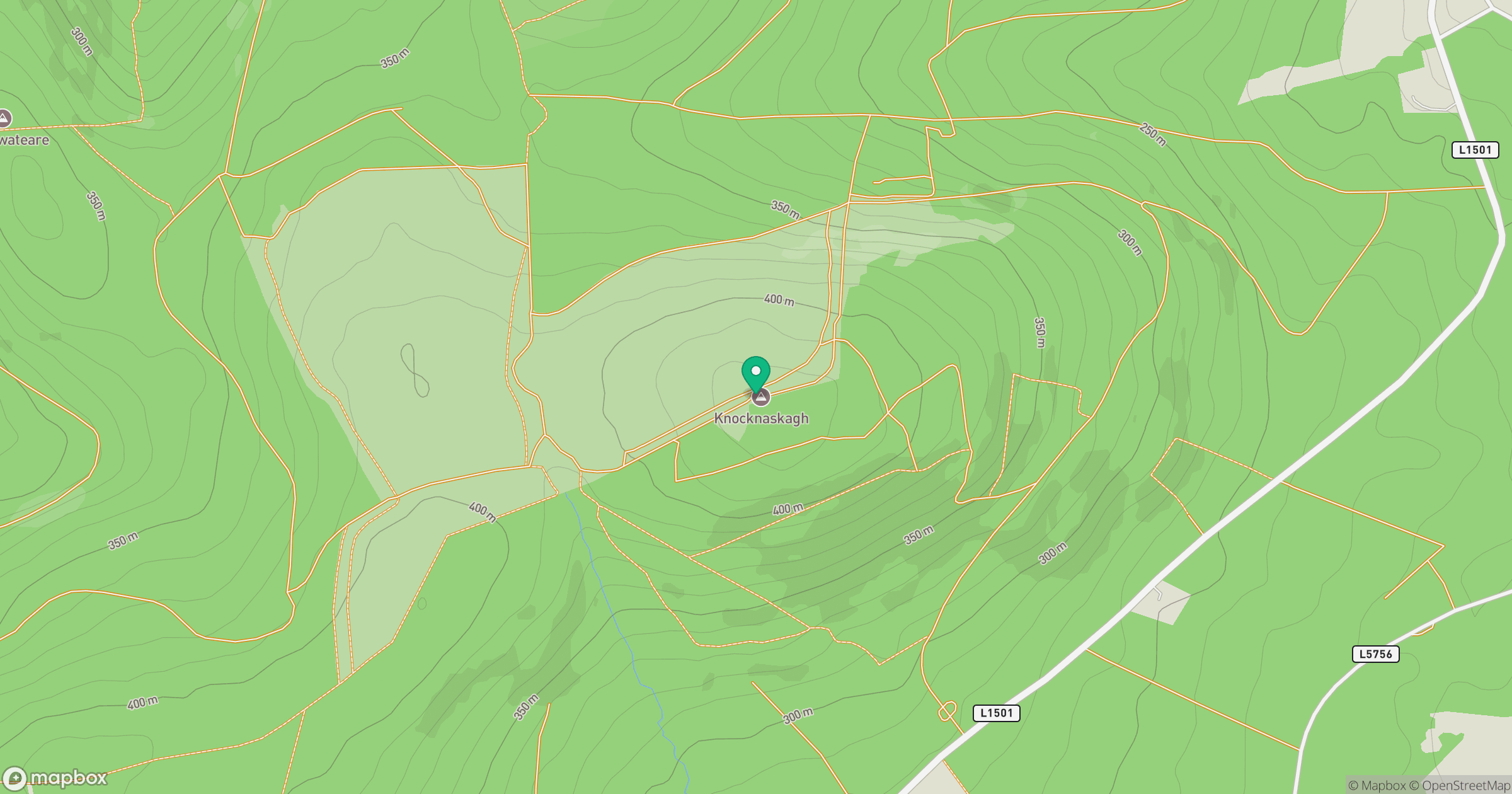
Grid reference: W703950
View on OpenStreetMapOpens a map in a new tab, centred on the hill.
Hills within 30 km
Straight-line distance, not a walking route or confirmation of access.
Carrigeenamronety [Carraigin na mBrointe]
401m
Coolfree Mountain [Sliabh Chuil Fhraoigh]
437m
Seefin Mountain W Top [Seefin Mountain] [Sui Finn]
528m
Fear Breagach
369m
Ballyarthur Hill
353m
No comments yet. Be the first.